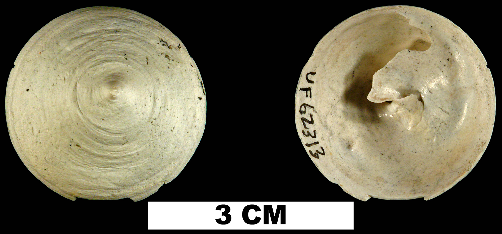
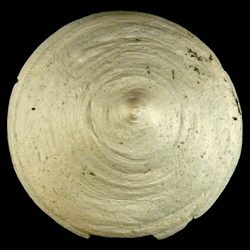
Calyptraea centralis
- Phylum: Mollusca
- Class: Gastropoda
- Order: Littorinimorpha
- Family: Calyptraeidae
- Genus: Calyptraea
- Species: Calyptraea centralis (Conrad, 1841)
- Common Name: Circular Cup-and-Saucer Shell
Geological Range
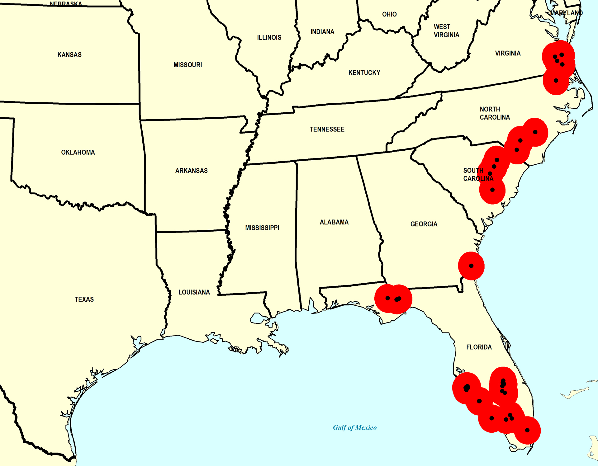
Early Miocene to Late Pleistocene; Recent.
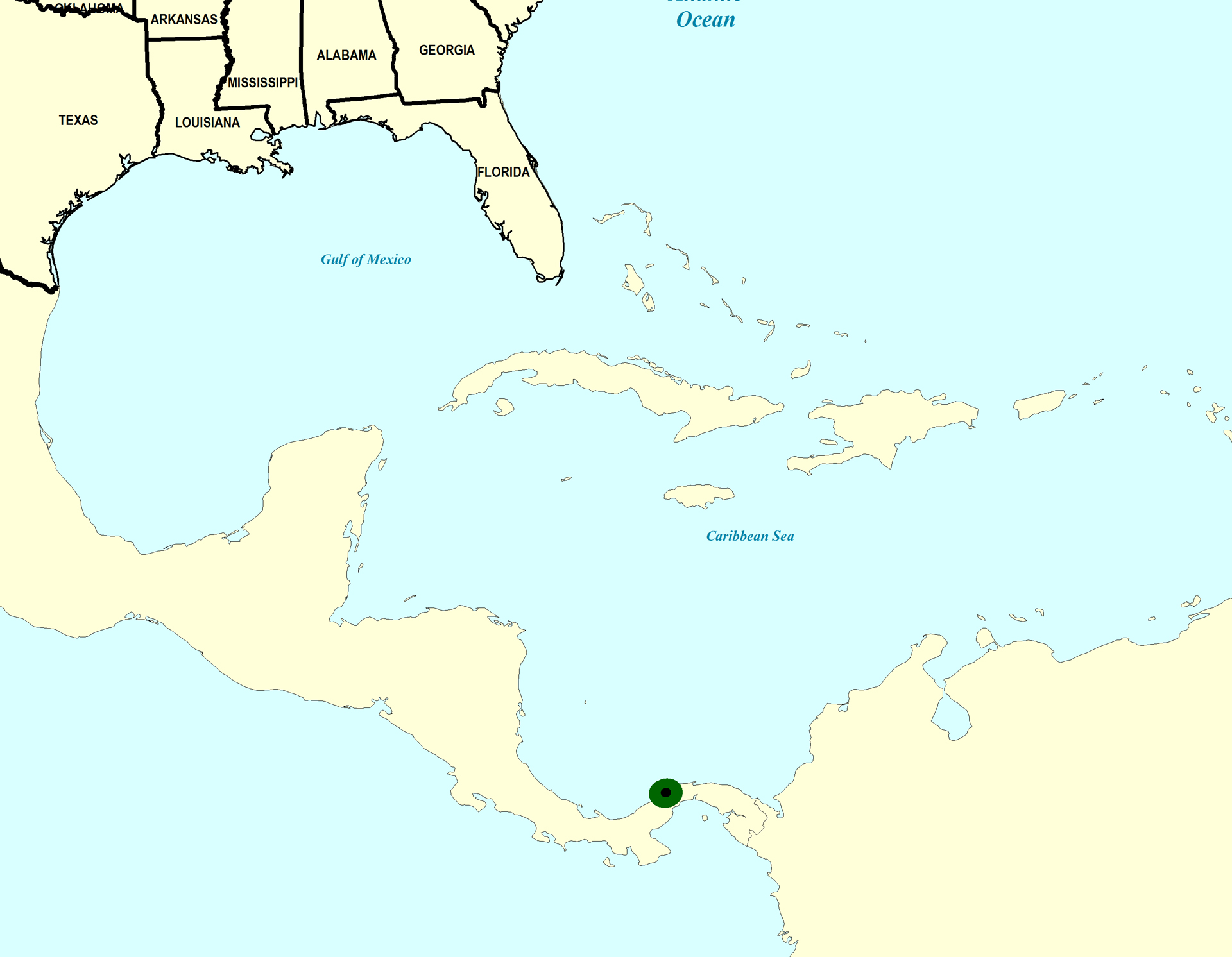
Paleogeographic Distribution
Panama to Virginia.
Remarks
For information on the modern distribution of the species, see Malacolog and WoRMS.
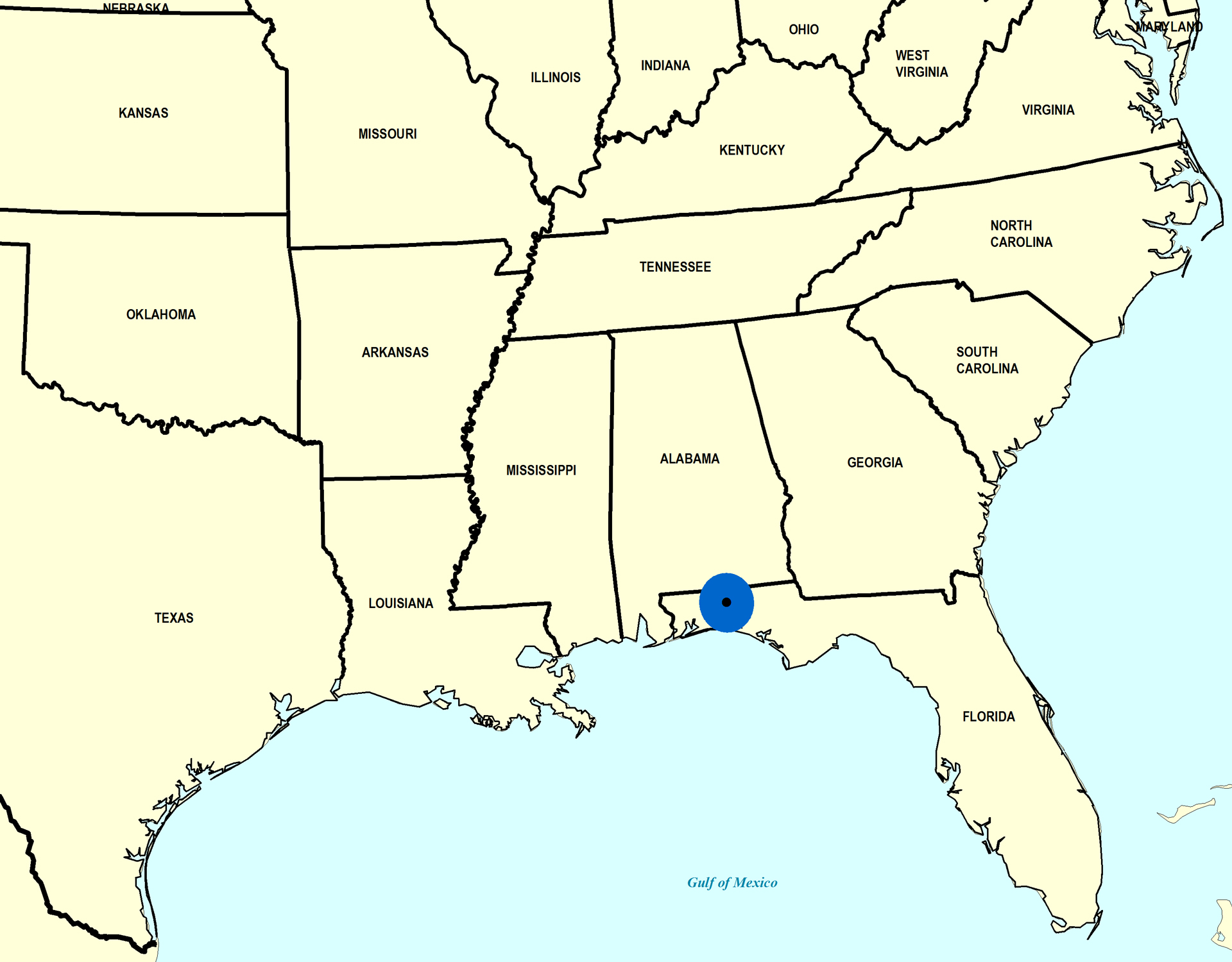
Stratigraphic Occurrences
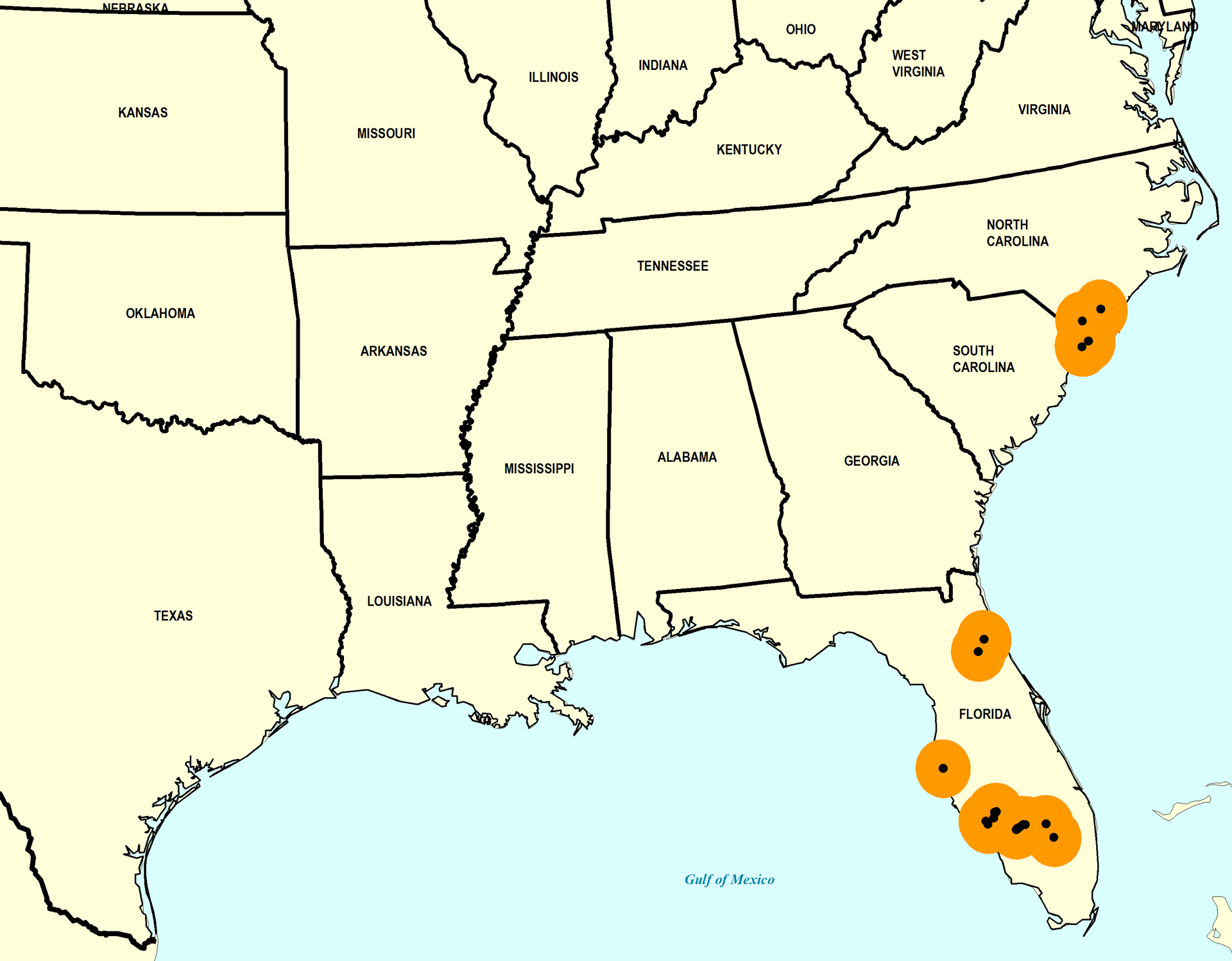
- Late Pleistocene
- Fort Thompson Formation (S. FL)
- Fort Thompson Formation? (S. FL)
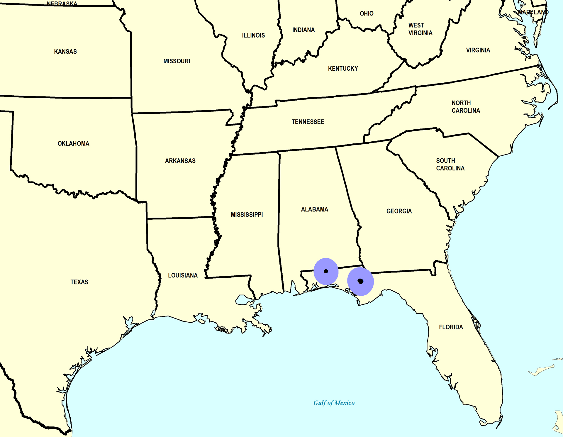
- Middle Pleistocene
- Bermont Formation (S. FL)
- Bermont Formation? (S. FL)
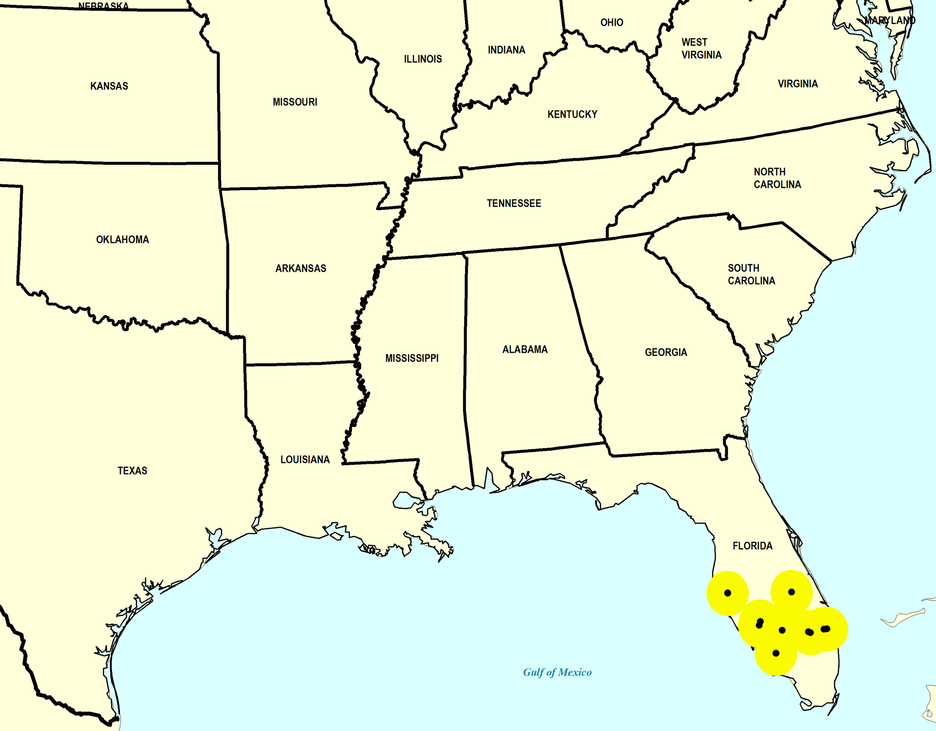
- Early Pleistocene
- Caloosahatchee Formation (S. FL)
- Nashua Formation (N. FL)
- Late Pliocene
- Duplin Formation (SC, NC)
- Jackson Bluff Formation (N. FL)
- Raysor Formation (GA)
- Raysor Formation (SC)
- Tamiami Formation (Pinecrest Beds) (S. FL)
- Yorktown Formation (VA)
- Yorktown Formation (NC)
- Late Miocene
- Gatun Formation (Middle) (Panama)
- Gatun Formation (Lower) (Panama)
- Middle Miocene
- Shoal River Formation (N. FL)
- Early Miocene
- Chipola Formation (N. FL)
- Oak Grove Sand (N. FL)