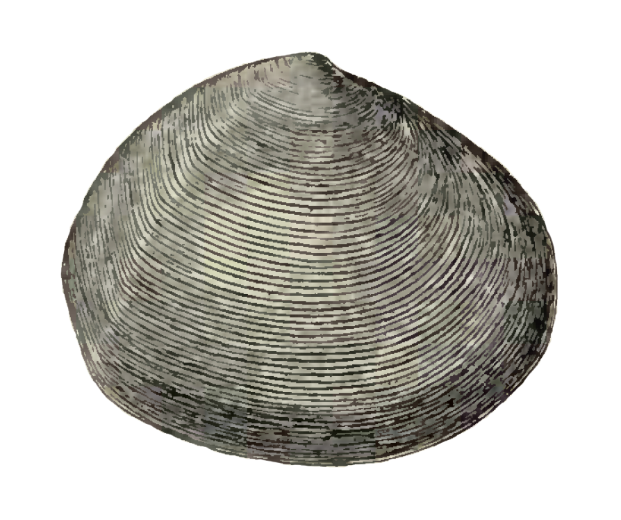
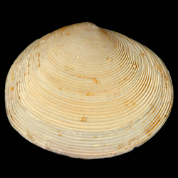
Semele chipolana
- Phylum: Mollusca
- Class: Bivalvia
- Order: Imparidentia
- Family: Semelidae
- Genus: Semele
- Species: Semele chipolana (Dall, 1898)
Geological Range
Early Miocene to Middle Miocene; Extinct.
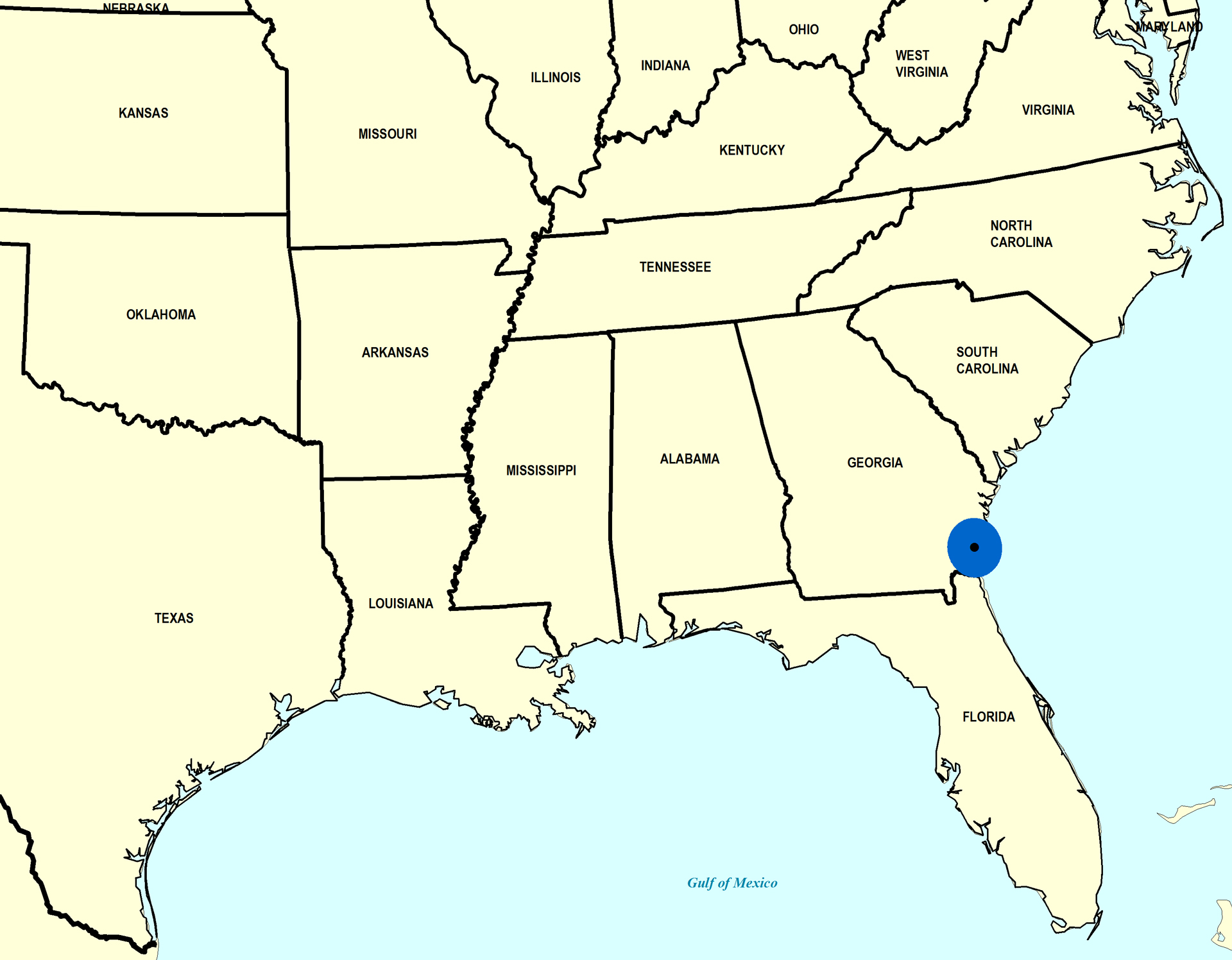
Paleogeographic Distribution
Northern Florida to Georgia.
Remarks
Original Description (from Dall, 1898, p. 986-987):
"Upper or Chipolan Oligocene at the base of Alum Bluff, Florida, also at Bailey's Ferry (now the county bridge) and McClellan's farm, on the Chipola River, Calhoun County, and in the Oak Grove sands at Oak Grove, Santa Rosa County, Florida.
Shell large, solid, rather inflated, nearly equilateral, slightly inequivalve; beaks low, adjacent; anterior end longer, sloping above, rounded in front and below into the arcuate base; posterior end high, bluntly rounded, subtruncate near the base, the posterior flexure feeble; escutcheon long and narrow, lunule wider, elongate, both chiefly impressed on the dorsal edge of the left valve; sculpture of regularly spaced, numerous low, sharp, thin concentric lamellae, with wider, microscopically radially striate interspaces; there are about fifteen lamellae to the centimeter; hinge and other internal characters normal. Alt. 46, lat. 54, diam. 21 mm.
This fine shell is not unlike the Pliocene S. Leana, but the sculpture in the latter is coarser and more prominent and the valves thinner and flatter."
To access this description in its original formatting through Google Books, click here.
Stratigraphic Occurrences
- Middle Miocene
- Coosawhatchie Formation (Charlton Member) (GA)
- Early Miocene
- Chipola Formation (N. FL)