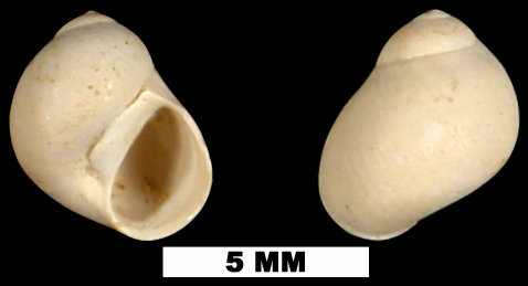
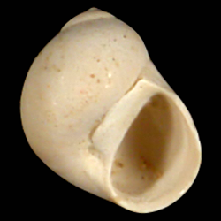
Tectonatica pusilla
- Phylum: Mollusca
- Class: Gastropoda
- Order: Littorinimorpha
- Family: Naticidae
- Genus: Tectonatica
- Species: Tectonatica pusilla (Say, 1822)
Geological Range
Late Pliocene to Late Pleistocene; Recent.
Paleogeographic Distribution
Southern Florida to Virginia.
Remarks
For information on the modern distribution of the species, see Malacolog and WoRMS.
Original Description (from Say, 1822, p. 257):
"Shell thin, suboval, cinereous or rufous, with sometimes one or two obsolete, dilated, revolving bands; columella callous; callus pressed laterally into the umbilicus, whitish; umbilicus nearly closed and consisting only of an arquated, linear, vertical aperture.
Length about a quarter of an inch.
Inhabits the southern coast.
Cabinet of the Academy and Philadelphia Museum.
A small species, generally mistaken for the young of one of the preceding species."
To access this description in its original formatting through the Biodiversity Heritage Library, click here.
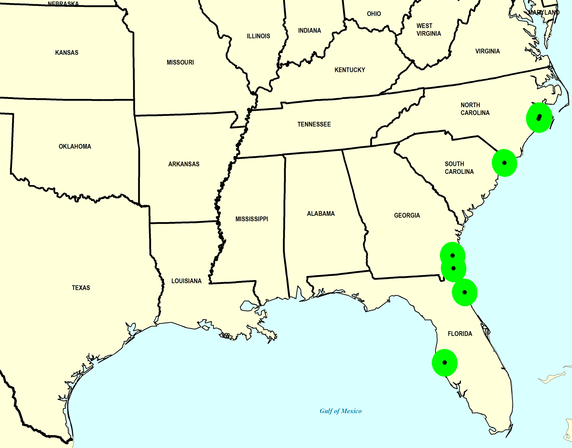
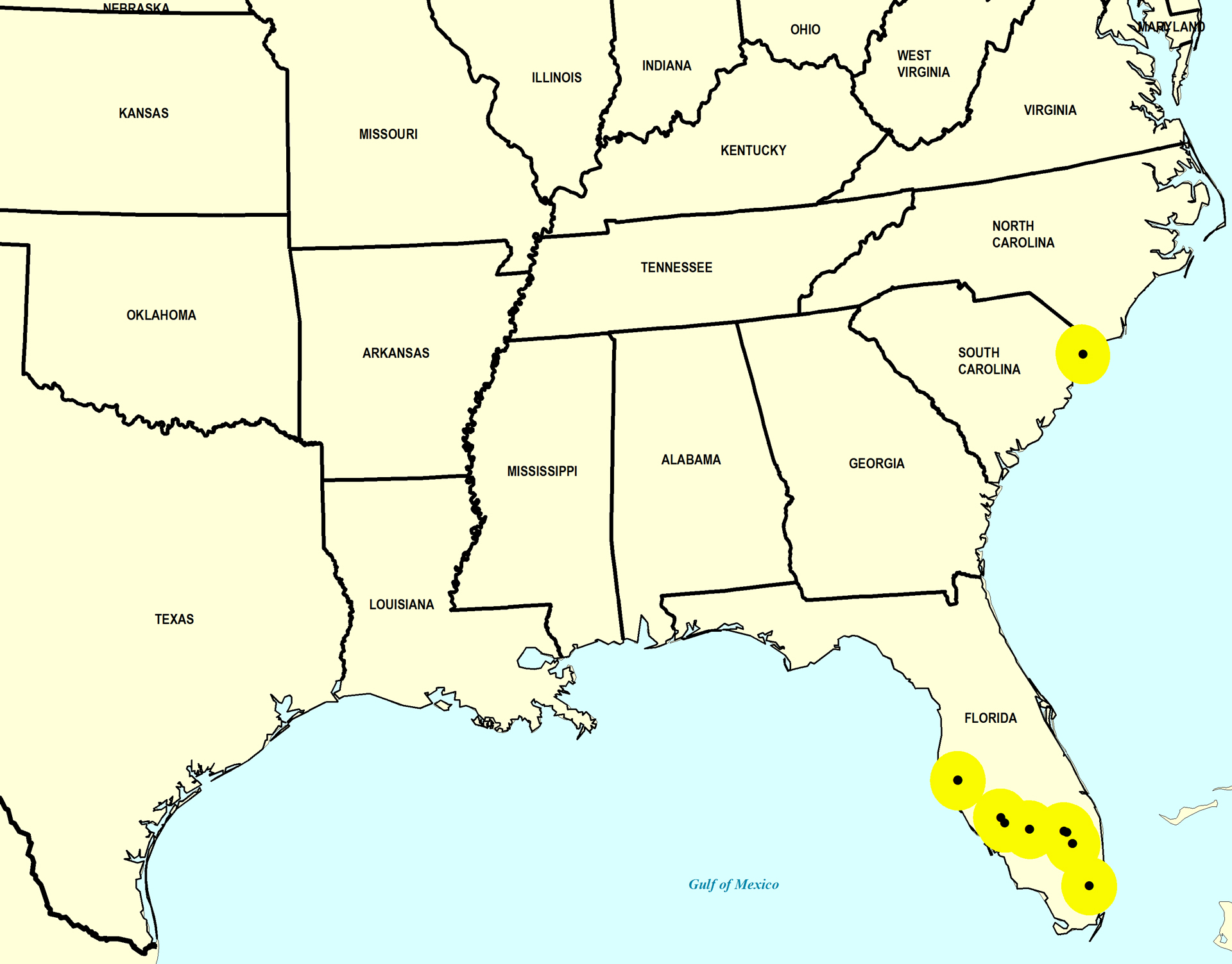
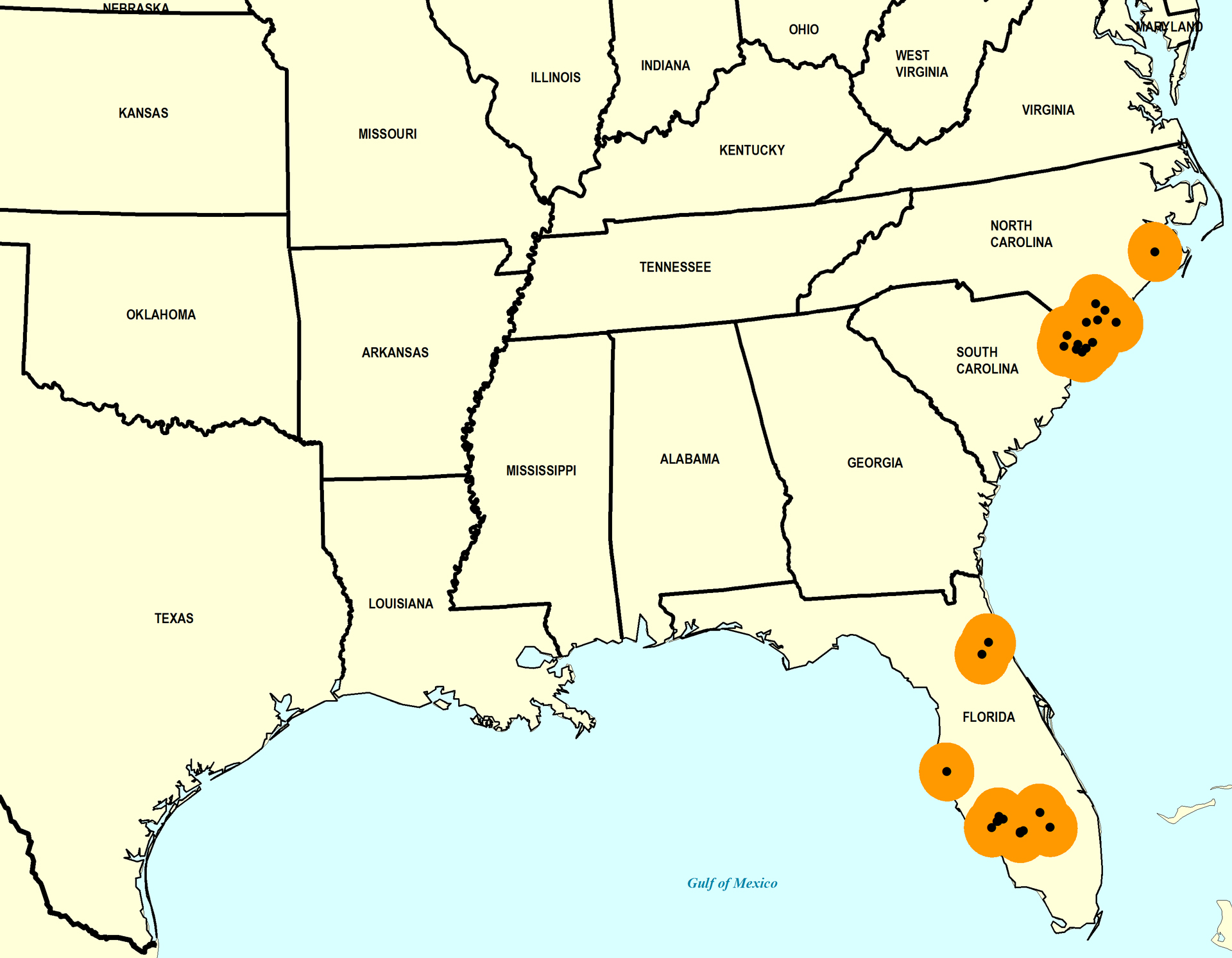
Stratigraphic Occurrences
- Late Pleistocene
- Anastasia Formation (N. FL)
- Flanner Beach Formation (NC)
- Fort Thompson Formation (S. FL)
- Neuse Formation (NC)
- Pamlico Formation (SC)
- Satilla Formation (N. FL)
- Satilla Formation (GA)
- Middle Pleistocene
- Bermont Formation (S. FL)
- Bermont Formation? (S. FL)
- Canepatch Formation (SC)
- Early Pleistocene
- Bear Bluff Formation (SC)
- Caloosahatchee Formation (S. FL)
- James City Formation (NC)
- Nashua Formation (N. FL)
- Waccamaw Formation (SC, NC)
- Late Pliocene
- Croatan Formation (Lower) (NC)
- Duplin Formation (SC, NC)
- Duplin / Raysor formations (GA)
- Jackson Bluff Formation (N. FL)
- Raysor Formation (GA, SC)
- Tamiami Formation (Pinecrest Beds) (S. FL)
- Yorktown Formation (NC, VA)