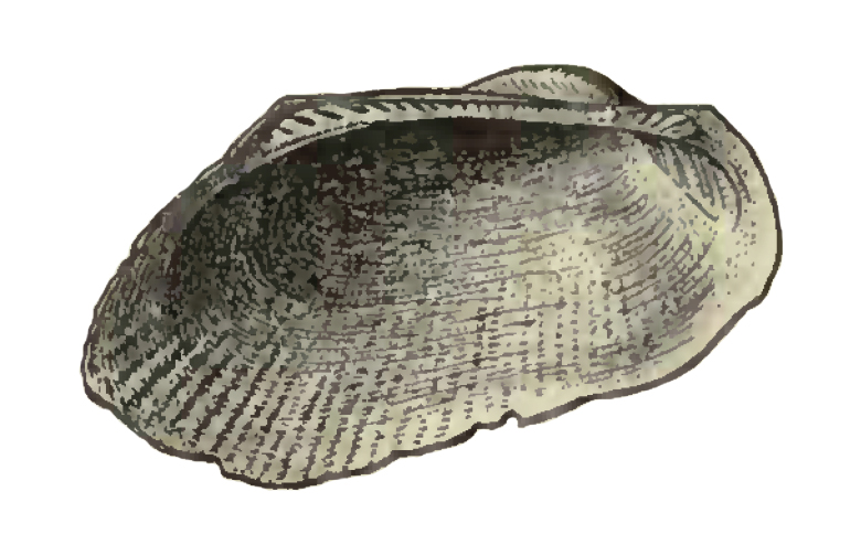
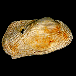
Barbatia phalacra
Geological Range
Early Miocene to Late Pliocene; Extinct.
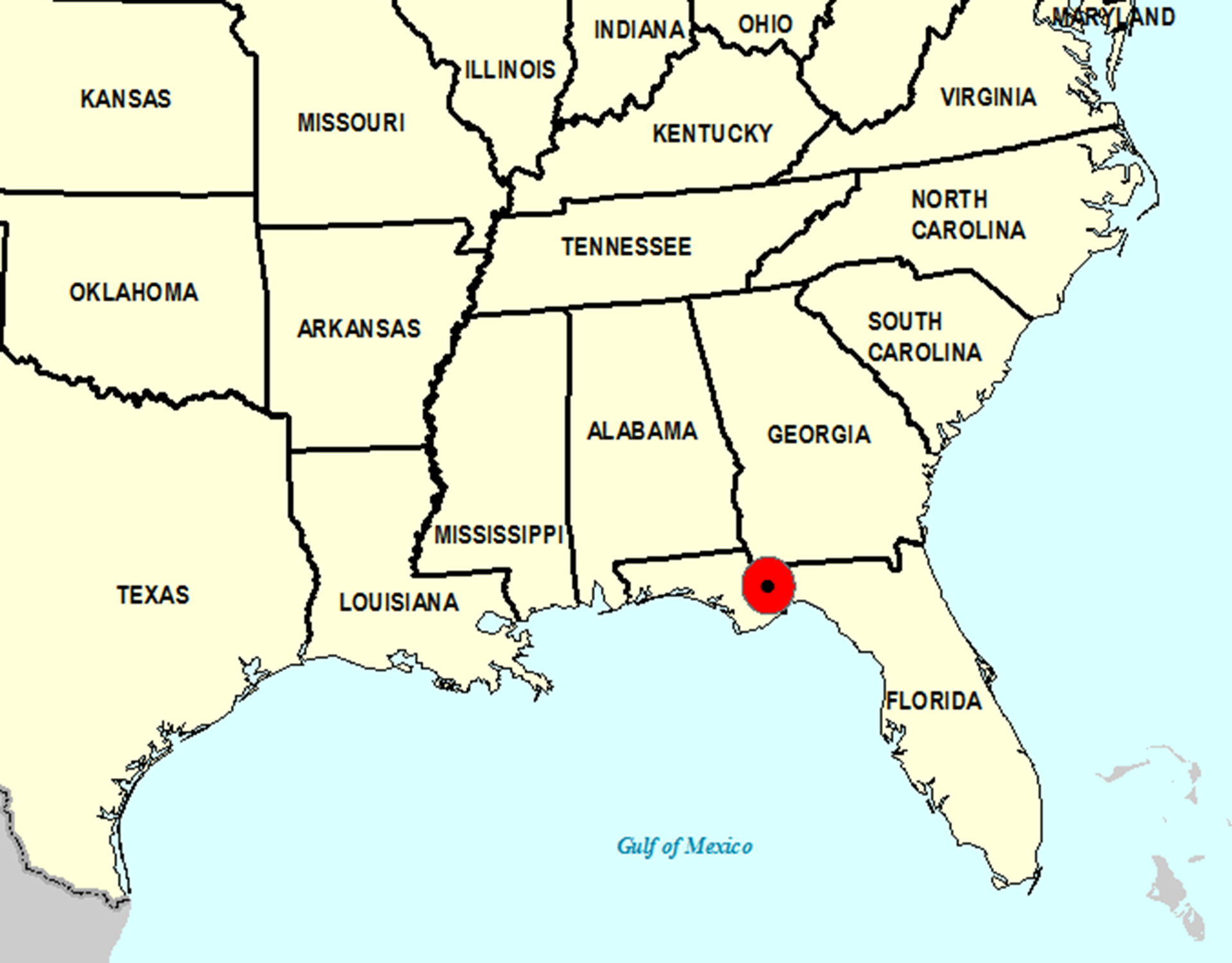
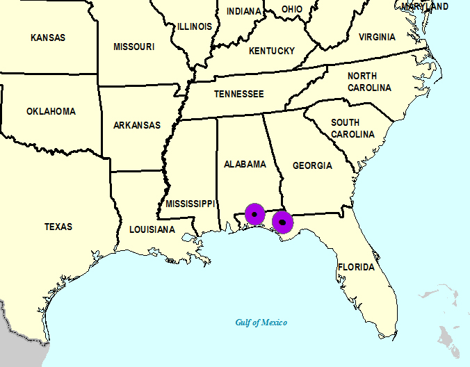
Paleogeographic Distribution
Northern Florida.
Remarks
Original Description (from Dall, 1898, p. 626):
"Oligocene of the Chipola marls, Chipola River, and of the Oak Grove sands, Florida; Burns.
Shell thin, moderately convex, equivalve, inequilateral; the prosogyrate beaks within the anterior fourth low and somewhat compressed; sculpture of very numerous fine, even, mostly dichotomous riblets without nodules or reticulation over the whole shell, crossed only by feeble incremental lines; cardinal area very narrow with a few longitudinal grooves; hinge-teeth small, short, and vertical mesially without any gap in the series, distally longer, larger, and more oblique; hinge-line 14/23 of the whole length; internal margin of the valves smooth, byssal gape inconspicuous. Lon. 23.5, alt. 11, diam. 9 mm.
This is a very modest and neat little species which does not seem identifiable with any of the others. It is, perhaps, nearest to B. mississippiensis Conrad, but is smaller, less flattened, and more regular."
To access this description in its original formatting through the Biodiversity Heritage Library, click here.
Stratigraphic Occurrences
- Late Pliocene
- Jackson Bluff Formation (N. FL)
- Early Miocene
- Chipola Formation (N. FL)
- Oak Grove Sand (N. FL)