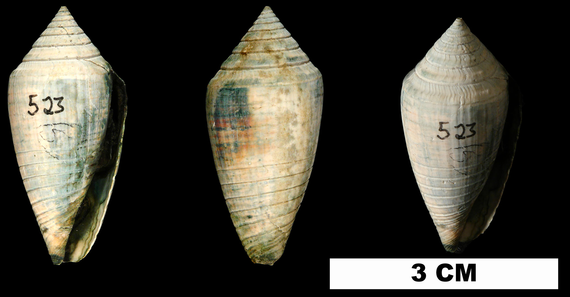
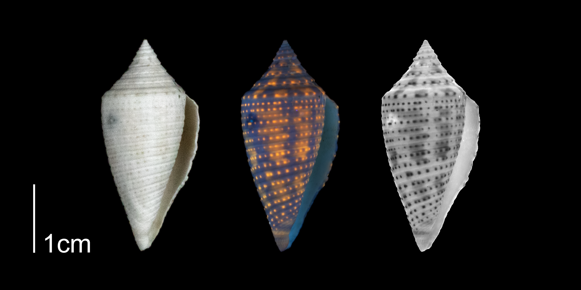
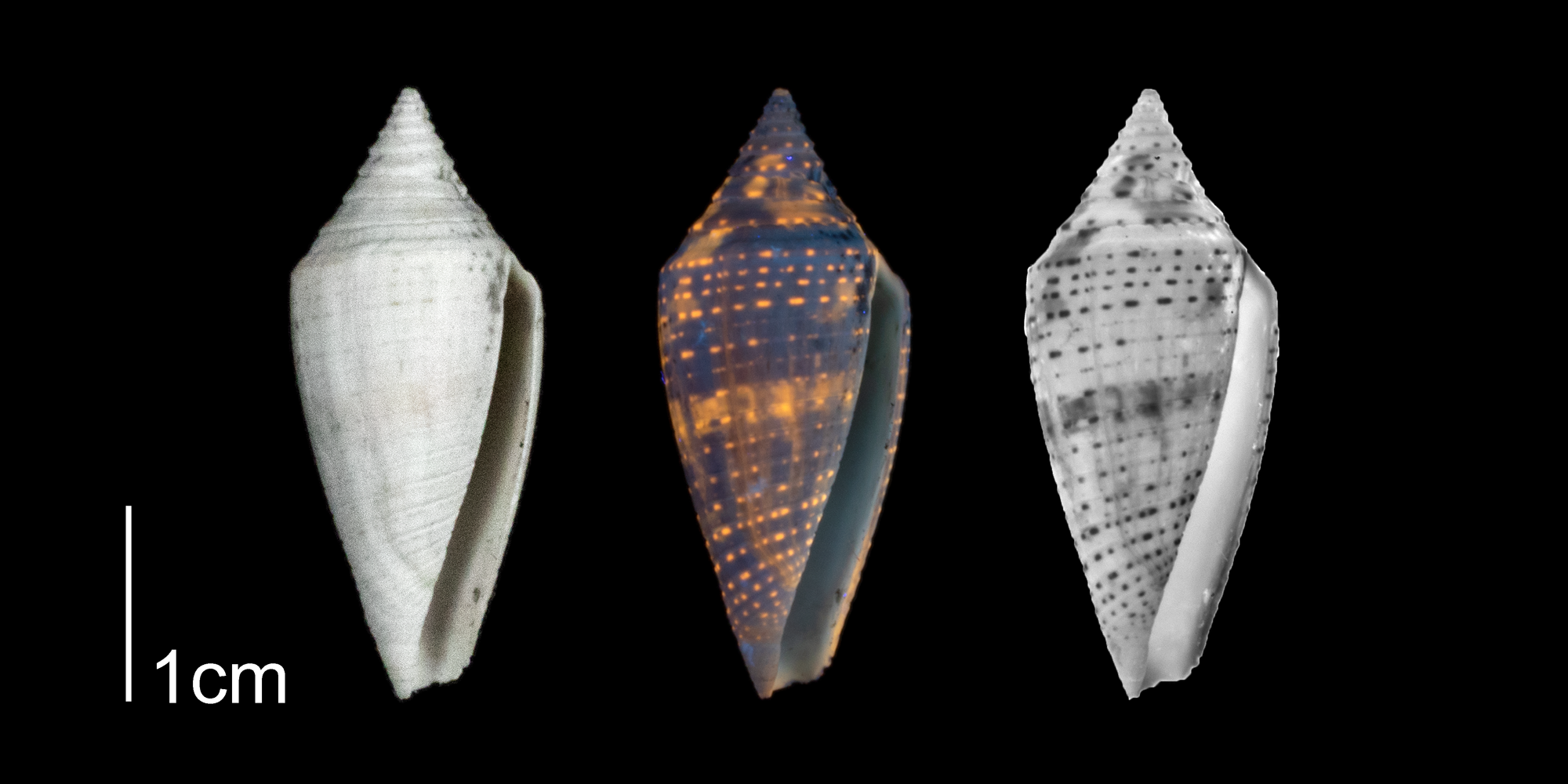
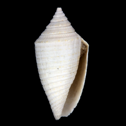
Skip to Main Content

Conasprella onisca

Geological Range

Early Pliocene to Middle Pleistocene; Extinct.

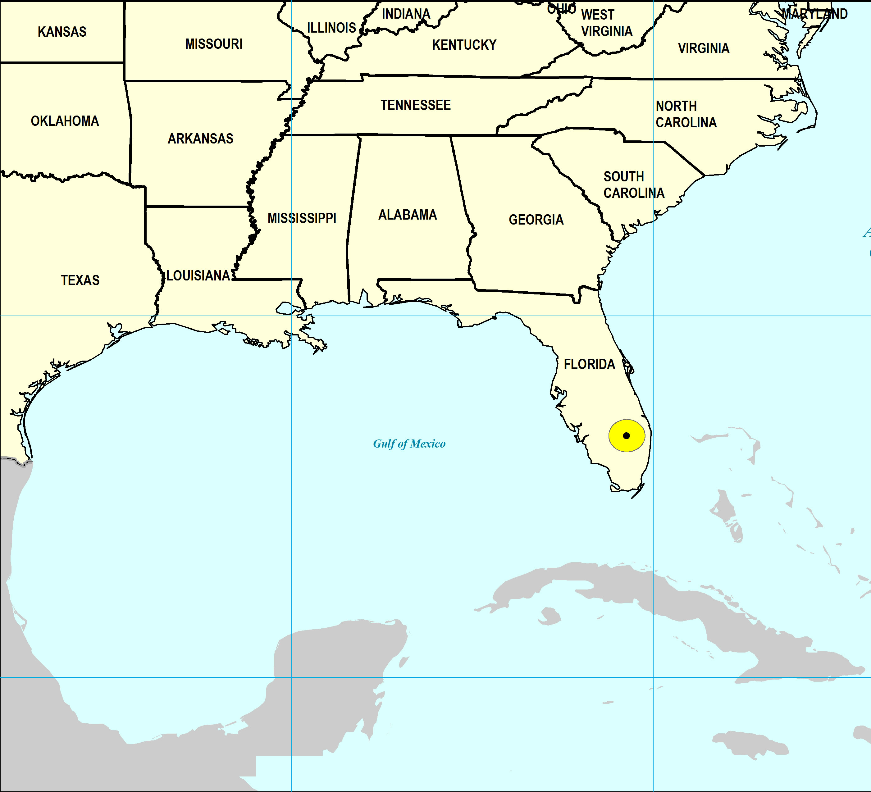
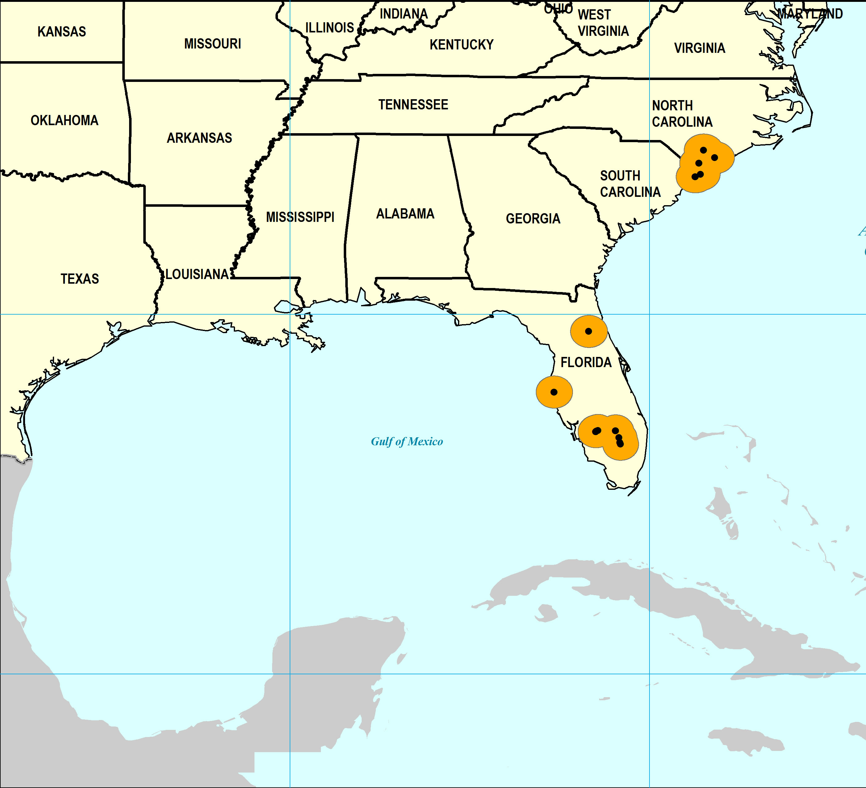
Paleogeographic Distribution

Jamaica to North Carolina.

Remarks

Stratigraphic Occurrences

Middle Pleistocene
Bermont Formation (S. FL)
Early Pleistocene
Caloosahatchee Formation (S. FL)
Nashua Formation (N. FL)
Waccamaw Formation (SC, NC)
Late Pliocene
Duplin Formation (SC, NC)
Jackson Bluff Formation (N. FL)
Tamiami Formation (Pinecrest Beds) (S. FL)
<i>Conasprella onisca</i> from the Late Pliocene Tamiami Fm. (Pinecrest Beds) of Glades County, Florida (UF 174363).
Conasprella onisca from the Late Pliocene Tamiami Fm. (Pinecrest Beds) of Glades County, Florida (UF 174363).
<i>Conasprella onisca</i> from the Late Pliocene Tamiami Fm. (Pinecrest Beds) of Sarasota County, Florida (PRI 70348).
Conasprella onisca from the Late Pliocene Tamiami Fm. (Pinecrest Beds) of Sarasota County, Florida (PRI 70348).
<i>Conasprella onisca</i> from the Plio-Pleistocene of Highlands County, Florida shown under regular and ultraviolet light, causing its original coloration pattern to be revealed (PRI 70612).
Conasprella onisca from the Plio-Pleistocene of Highlands County, Florida shown under regular and ultraviolet light, causing its original coloration pattern to be revealed (PRI 70612).
Middle Pleistocene Map
Early Pleistocene Map
Late Pliocene Map
Late Pliocene Map