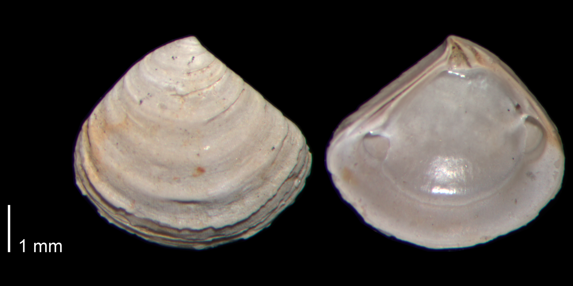
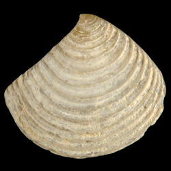
Crassinella lunulata
- Phylum: Mollusca
- Class: Bivalvia
- Order: Carditida
- Family: Crassatellidae
- Genus: Crassinella
- Species: Crassinella lunulata (Conrad, 1834)
- Common Name: Lunate crassinella
Geological Range
Late Pliocene to Late Pleistocene; Recent.
Paleogeographic Distribution
Cuba to Virginia.
Remarks
For information on the modern distribution of the species, see Malacolog and WoRMS.
Original Description (from Conrad, 1834, p. 133):
"Shell small, triangular, compressed, with about thirteen acute concentric prominent lines; anterior slope rectilinear, angular at the extremity; basal margin rounded; beaks central, apex acute; lunule much elongated. Length and height nearly equal, about one fourth of an inch.
Locality. Suffolk, Virginia."
To access this description in its original formatting through the Biodiversity Heritage Library, click here.
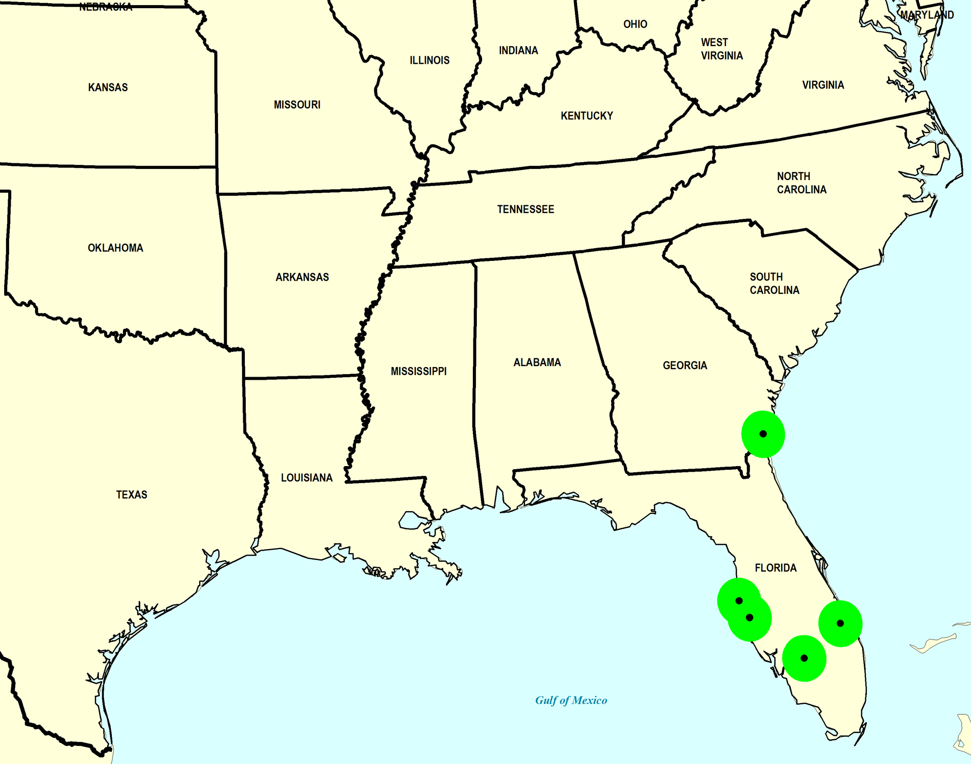
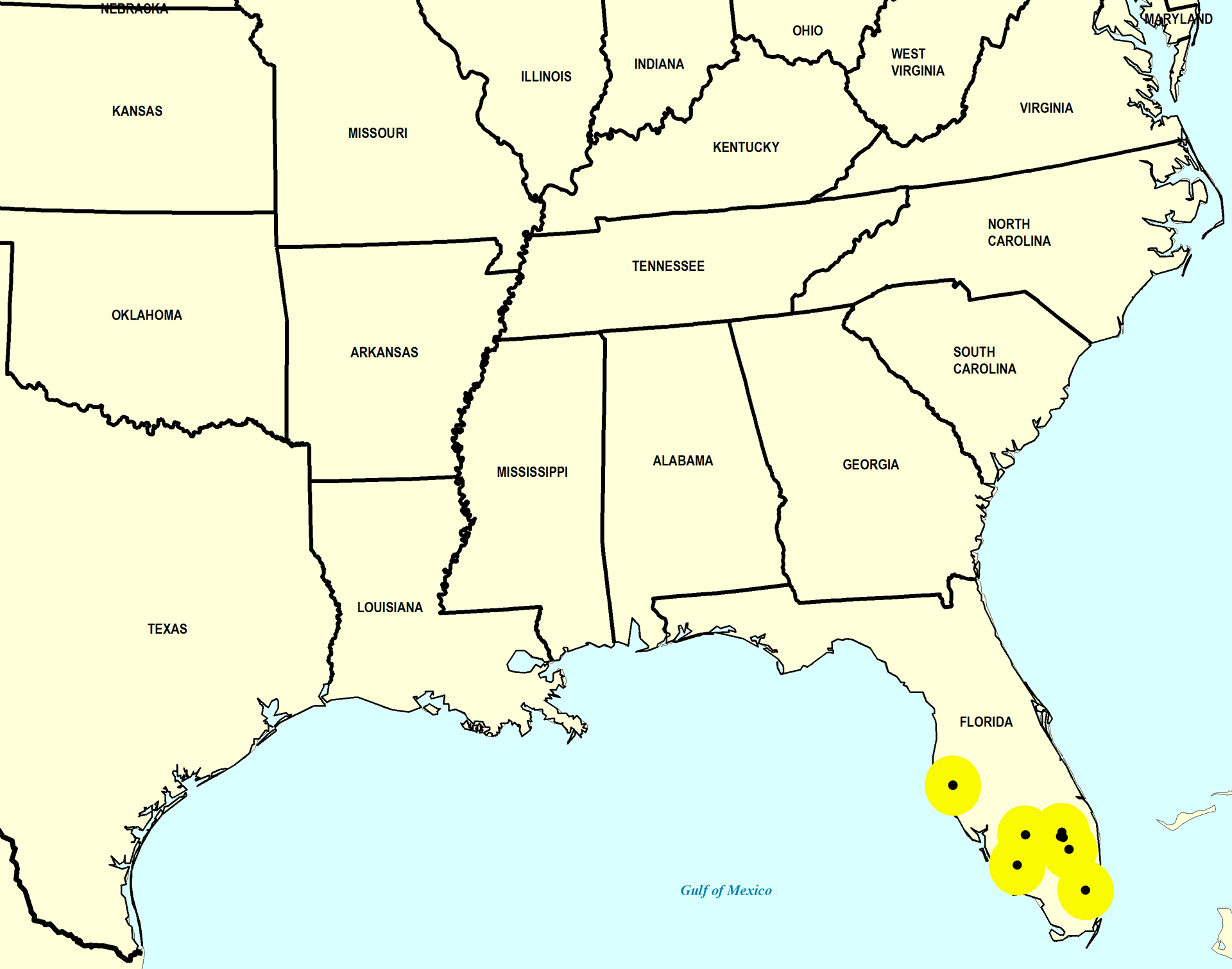
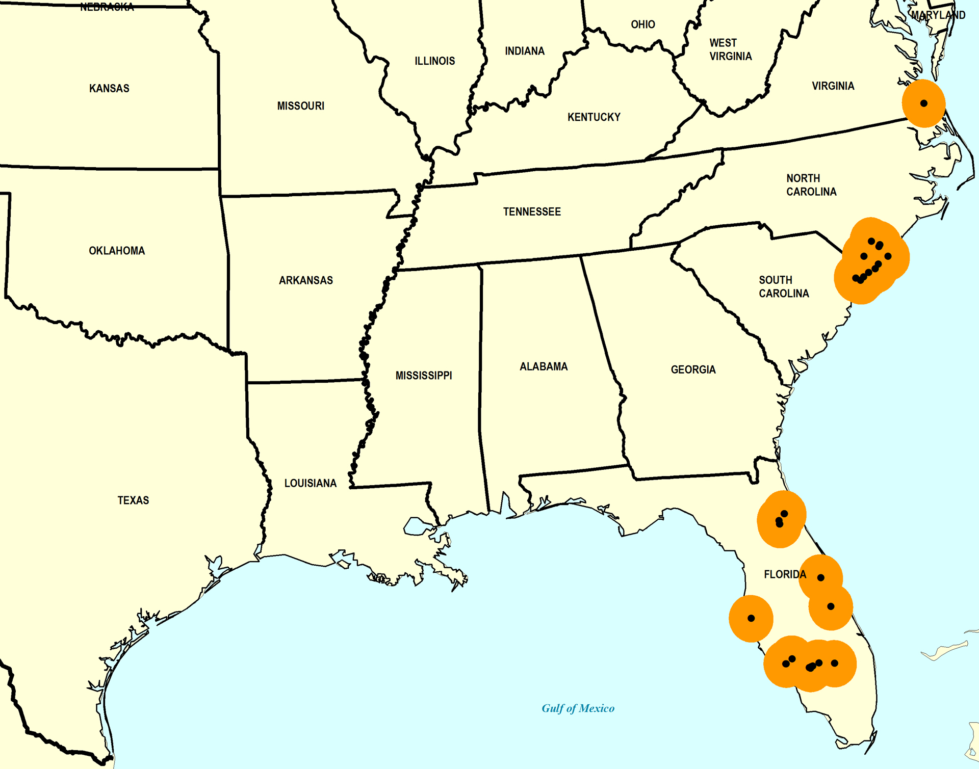
Stratigraphic Occurrences
- Late Pleistocene
- Fort Thompson Formation (S. FL)
- Jaimanitas Formation (Cuba)
- Pamlico Formation (S. FL)
- Satilla Formation? (GA)
- Middle Pleistocene
- Bermont Formation (S. FL)
- Bermont Formation? (S. FL)
- Canepatch Formation (SC)
- Early Pleistocene
- Chowan River Formation (VA)
- Nashua Formation (N. FL)
- Waccamaw Formation (SC, NC)
- Late Pliocene
- Duplin Formation (SC, NC)
- Duplin / Raysor formations (GA)
- Jackson Bluff Formation (N. FL)
- Raysor Formation (GA, SC)
- Tamiami Formation (Pinecrest Beds) (S. FL)
- Yorktown Formation (VA)