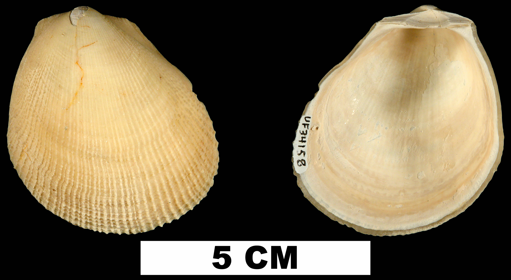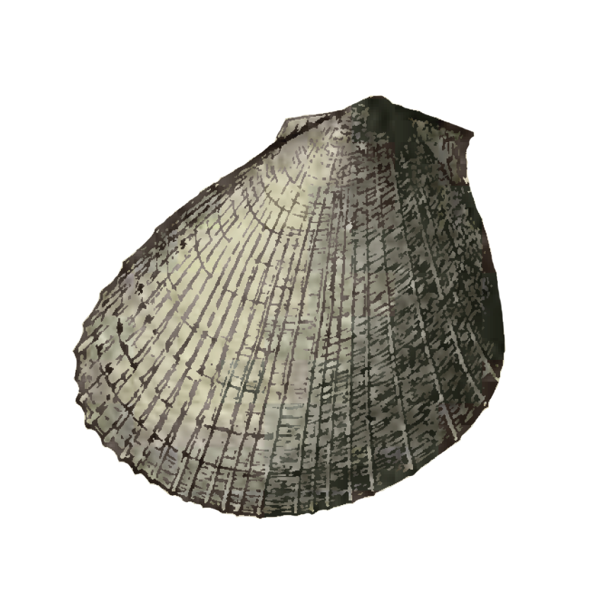
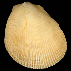
Limaria caloosana
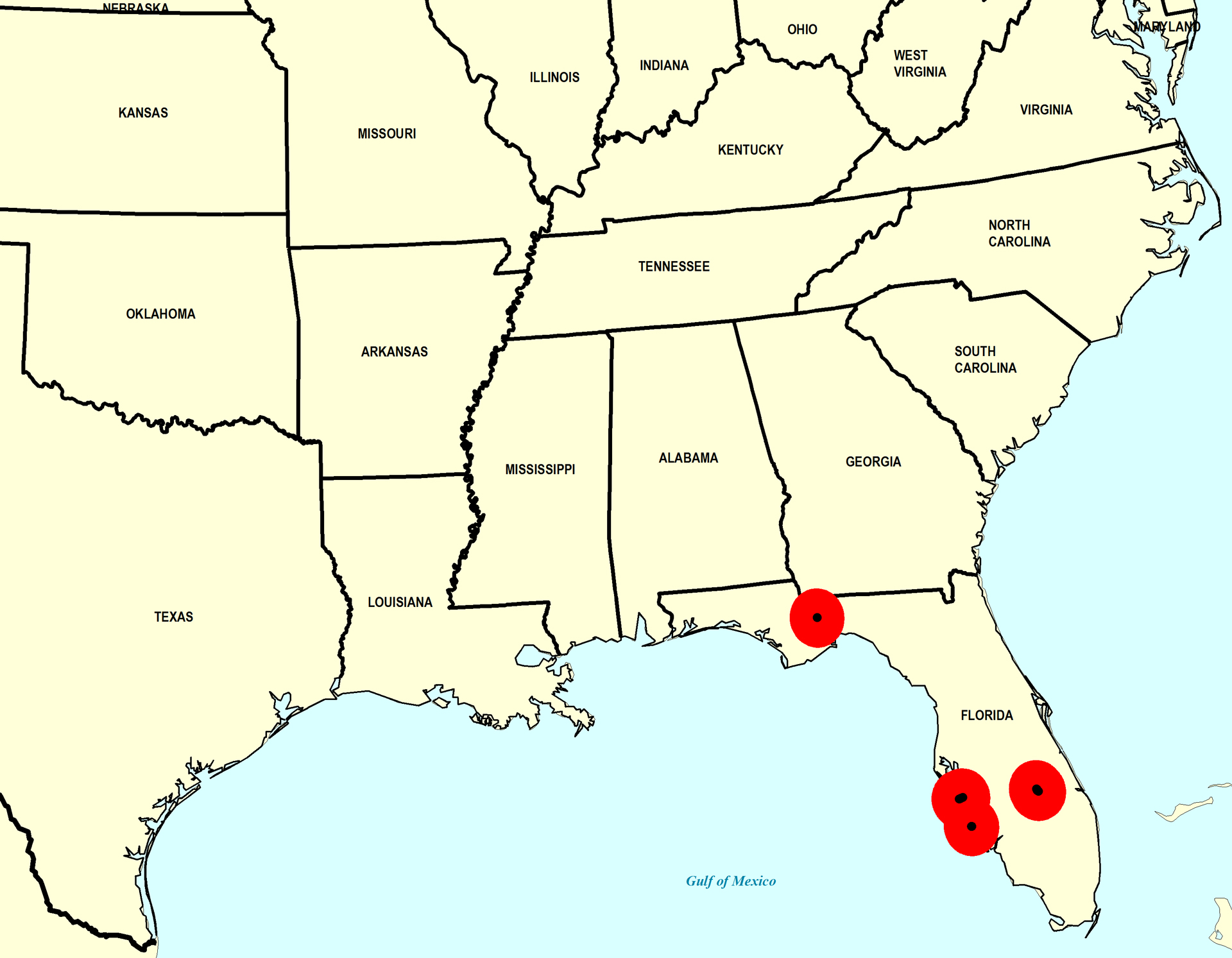
Geological Range
Late Pliocene to Middle Pleistocene; Extinct.
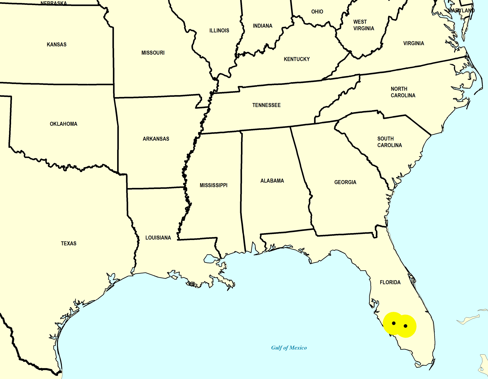
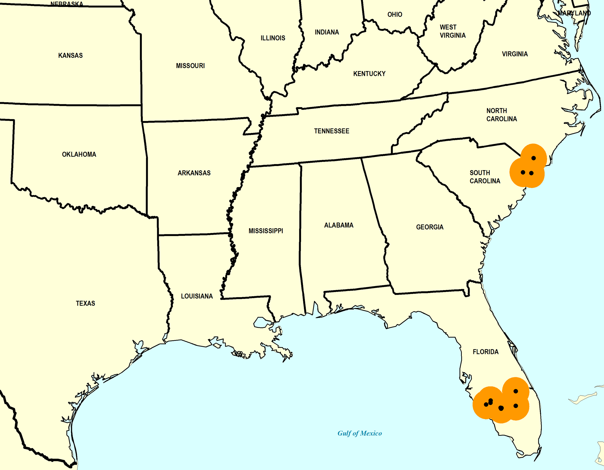
Paleogeographic Distribution
Southern Florida to North Carolina.
Remarks
Original Description (from Dall, 1898, p. 767-768):
"Pliocene of the Caloosahatchie; Dall and Willcox.
Shell inflated, oblique, strong, with a large anterior gape, the posterior margins not excavated; incremental lines strong; radial sculpture of about forty rather sharp, minutely nodulous, narrow threads, with usually wider but often somewhat irregular interspaces, sometimes carrying a slender intercalary thread or faint traces of radial striation; submargins almost free from radial sculpture, not impressed; hinge-margin short, pit large, wide, with a projecting lower margin; basal margin of the valve rounded, hardly crenulated by the sculpture. Alt. 37, lat. 35, diam. 24 mm.
This shell is much like the recent L. inflata Gmelin, but is constantly wider, less oblique, and differs in minor details. It appears to be one of the characteristic species of the Caloosahatchie marls."
To access this description in its original formatting through Google Books, click here.
Stratigraphic Occurrences
- Middle Pleistocene
- Bermont Formation (S. FL)
- Early Pleistocene
- Bear Bluff Formation (SC)
- Caloosahatchee Formation (S. FL)
- Waccamaw Formation (SC, NC)
- Late Pliocene
- Jackson Bluff Formation (N. FL)
- Tamiami Formation (S. FL)
- Tamiami Formation (Pinecrest Beds) (S. FL)