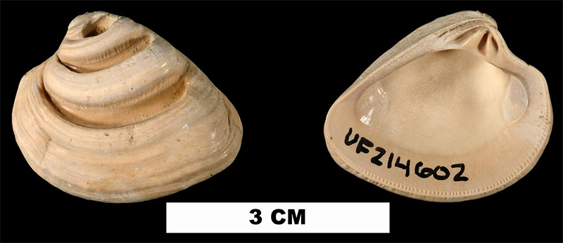
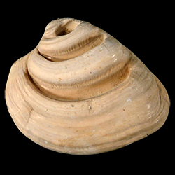
Lirophora latilirata
- Phylum: Mollusca
- Class: Bivalvia
- Order: Imparidentia
- Family: Veneridae
- Genus: Lirophora
- Species: Lirophora latilirata (Conrad, 1841)
- Common Name: Imperial venus
Geological Range
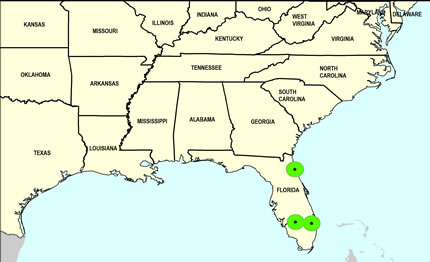
Late Pliocene to Late Pleistocene; Recent.
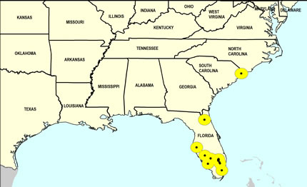
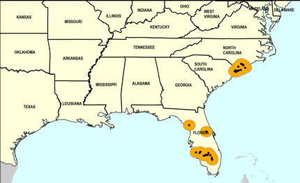
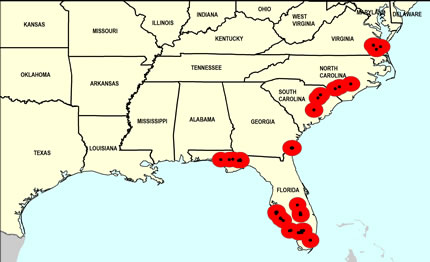
Paleogeographic Distribution
Southern Florida to Virginia.
Remarks
For information on the modern distribution of the species, see Malacolog.
Note that the occurrence point shown for the Middle Pleistocene in northern Florida is in error (this will be corrected in the future).
Original Description (from Conrad, 1841, p. 183):
"Trigonal, convex depressed; ribs concentric, about 5 or 6 in number, flattened, reflected, irregular, one of them generally very wide; ribs irregularly sulcated on the posterior slope; inner margin finely crenulated. Smaller than V. alveata, and with broader, less prominent ribs, which do not diminish in size on the posterior margin."
To access this description in its original formatting through the Biodiversity Heritage Library, click here.
Stratigraphic Occurrences
- Late Pleistocene
- Anastasia Formation (N. FL)
- Coffee Mill Hammock Formation (S. FL)
- Fort Thompson Formation (S. FL)
- Middle Pleistocene
- Bermont Formation (S. FL)
- Canepatch Formation (SC)
- Early Pleistocene
- Caloosahatchee Formation (S. FL)
- Nashua Formation (N. FL)
- Waccamaw Formation (SC, NC)
- Late Pliocene
- Duplin Formation (SC, NC)
- Duplin / Raysor formations (GA)
- Jackson Bluff Formation (N. FL)
- Raysor Formation (GA, SC, NC)
- Tamiami Formation (Lower) (S. FL)
- Tamiami Formation (Pinecrest Beds) (S. FL)
- Yorktown Formation (VA)
